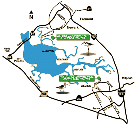
Watching Our Watersheds

Freshwater marshes seen in Google Maps via the interactive maps provided by the Watching Our Watersheds project. Screenshot courtesy SFBWS. Copyright CC BY-SA 3.0.
Watching Our Watersheds is a project to map the creeks, urban drainage network, watersheds, baylands, and points of interest in Santa Clara Valley. You can now download these maps and view them interactively through Google Earth or Google Maps.
You can even compare the waterways and habitats of the late 1800s to their present day configurations. Each map comes with a User's Guide to navigating in Google Earth, and answers to FAQs about the WOW project and the individual layers in the map. The maps cover western, central and southern Santa Clara County and the data is current as of November 2012.
These watershed maps were prepared by Fugro Consultants, Inc. with the San Francisco Estuary Institute, the Oakland Museum of California, CLEAN South Bay, and many other collaborators and colleagues.
The San Francisco Bay Wildlife Society is proud to provide funding along with Santa Clara Valley Water District, Committee for Green Foothills, City of Palo Alto, Santa Clara County Creeks Coalition, Santa Clara Valley Urban Runoff Pollution Prevention Program.
Upcoming Activities
Tide Rising
Tide Rising is a quarterly, digital newsletter published by the San Francisco Bay Wildlife Society with information about the San Francisco Bay National Wildlife Refuge Complex and its seven Refuges.